As part of ongoing research into product improvement, this page contains a host of products that have additional classes and values to aid researchers. These products were developed as both intermediate steps to generate the base NLCD products, and as value added products that standalone to provide additional insights. Please read the description provided for each to understand best use for these products.
This product shows the most recent forest disturbance date between the years 1986-2021 for every year. This product combines information from the NLCD 2021 change detection, land cover classification, and the LANDFIRE Vegetation Change Tracker (VCT) disturbance product from 1984-2010. For NLCD 2021, this product was used to assess where disturbance occurred for forest areas. This product was originally intended only for forest areas, but it also can be useful for other landcover classes. For example, agricultural areas, which are typically disturbed yearly by tillage, are represented as being disturbed prior to 1986. This "prior to 86" disturbance call was used in some instances as a delineation between forested and non-forest areas. Other classes that are not forest may also be represented with a disturbance indication if the area was forest at some time point during 1986-2021.
This product was derived using the 9-epoch NLCD land cover (2001, 2003, 2006, 2008, 2011, 2013, 2016, 2019, and 2021) from the released NLCD 2021 product suite. Any change between two consecutive epochs is calculated and the total change frequency/time for each pixel is recorded. This product shows an integer count total of any recorded change for the time period 2001-2021. This product is meant to be used with the change index and individual dates of Land Cover to provide users with a more in depth look at where multiple change events in the same location are occurring on the landscape.
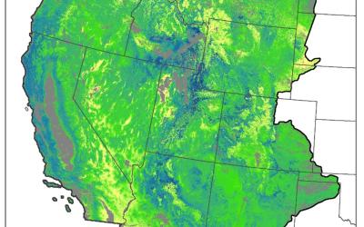
To better develop NLCD 2021 landcover, spectrally stable grass and shrub areas were separated from the spectrally changing areas of shrub and grass represented by forest harvest, burns, regrowth, and other disturbances. Essentially, this separation usually identifies shrub and grass climax areas from shrub and grass areas in transition back to a forest. This difference is expressed with two extra classes of land cover, called Shrub-Forest and Herbaceous-Forest which are representing areas of current shrub and grass expected to transition back to a forest. Alternatively, the shrub and grass classes of Shrub/Scrub and Grassland/Herbaceous will likely not transition to a forest. However, be cautioned that no extensive ecological analysis went into these class delineations, they are primarily spectral based separations used to delineate broad classes of grass and shrub. The change index associated with this and the regular NLCD classes are identical.
Below are the base layers or science products that were used to produce the NLCD USFS tree canopy cover products. These science products have no masking and include standard error layers providing mapping errors for each tree canopy cover pixel.