Data
Use the interface below to filter and download available NLCD products. Click (here) for NLCD Science Research Products which offer more comprehensive delineation of shrub and grass classes and information about change disturbance. For access to dynamic MRLC viewer applications and tools, click (here).
Dataset Type
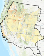
Region
Time Period
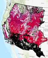
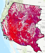
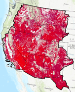
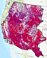
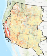
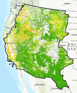
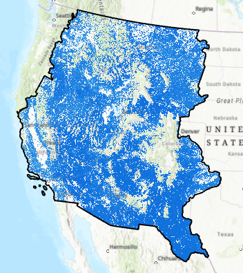
Exotic Annual Grass
The Exotic Annual Grass (EAG) abundance dataset provides early season percent cover estimate of the exotic grass species in 30m spatial resolution for a mapped year in rangeland ecosystems of western United States. We plan to release these EAG estimates multiple times each year in early growing season. EAG is a continuous field consisting of abundance of non-native grass species whose life history is complete in one growing season. Cheatgrass (Bromus tectorum) is a dominant species, but this dataset also includes Bromus arvensis L., Bromus briziformis Fisch. & C.A. Mey. Bromus catharticus Vahl, Bromus commutatus Schrad, Bromus diandrus Roth, Bromus hordeaceus L., Bromus hordeaceus spp. Hordeaceus, Bromus japonicus Thunb, Bromus madritensis L., Bromus madritensis L. ssp. rubens (L.) Duvin, Bromus racemosus L., Bromus rubens L., Bromus secalinus L., Bromus texensis (Shear) Hitchc, and medusahead (Taeniatherum caput-medusae (L.) Nevski). A main objective of releasing these maps is to provide a tool for better monitoring EAG dynamics and informing conservation and management efforts at local to regional scales. (Read More)


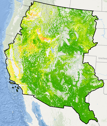


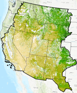
Tree Canopy
NLCD tree canopy cover geospatial datasets with spatial resolutions of 30 m are produced by the USDA Forest Service. Tree canopy cover is derived from multi-spectral satellite imagery and other available ground and ancillary information. Tree canopy products for the period 2011-2021 are available for the conterminous United States, and by summer 2023, they will also cover coastal south east Alaska, Hawaii, Puerto Rico, and U.S. Virgin Islands. (Read More)


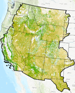
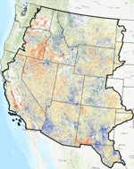
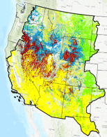
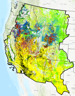
Ecological Potential
Rangeland Ecological Potential - Component Cover, Cover Departure, and Vegetation States. Ecological Potential rangeland fractional cover data products represent the potential cover given the most productive, least disturbed, portion of the 1985-2020 Landsat archive. Models used to predict Ecological Potential cover were trained on ecologically intact sites where annual herbaceous cover is low, no known disturbance or land treatment has occurred over the study period, and bare ground cover is relatively lower than expectations (Read More)