Multi-Resolution Land Characteristics (MRLC) Consortium

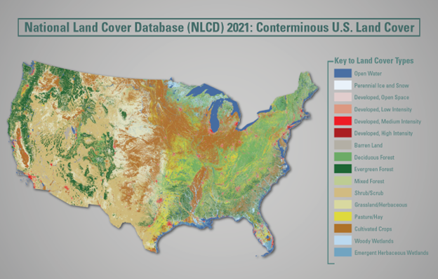
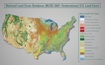
The Multi-Resolution Land Characteristics (MRLC) consortium is a group of federal agencies who coordinate and generate consistent and relevant land cover information at the national scale for a wide variety of environmental, land management, and modeling applications. The creation of this consortium has resulted in the mapping of the lower 48 United States, Hawaii, Alaska and Puerto Rico into a comprehensive land cover product termed, the National Land Cover Database (NLCD), from decadal Landsat satellite imagery and other supplementary datasets.

MRLC hosts land cover and land condition data from various sources, including NLCD and Rangeland Condition Monitoring Assessment and Projection (RCMAP) time-series, Ecological Potential, and projections of future fractional rangeland components. Data are offered for download, as WMS services, and in applications.

Release of CONUS NLCD 2021 Tree Canopy Cover (TCC) data

The USDA Forest Service, in collaboration with the MRLC consortium, is pleased to announce the release of the CONUS NLCD 2021 Tree Canopy Cover (TCC) data. With this release, the NLCD TCC data are available at the same interval as the NLCD land cover data starting in 2011 (2011, 2013, 2016, 2019, 2021). The data are now produced within a time-series framework, so change is now inherent in the annual time steps. There is a minimum mapping magnitude of +- 10% canopy cover for each cell between the annual time steps. These data supplant previous releases.  These tree canopy products have values representing the percentage of canopy cover for each 30 m pixel in the conterminous U.S.  
 
Accompanying the new NLCD TCC products, is a Science TCC dataset. The Science TCC dataset is a derivative of the NLCD TCC production, and still maintains an annual time step (2008-2021).  An additional highlight of these Science products is that they now contain information on both model-based uncertainty and pixel-wise model standard error. These TCC data are offered as a supplement to the NLCD TCC and users should beware that they have not been cartographically cleaned or filtered in any way.  
 
Similar NLCD TCC and Science TCC data sets for coastal Alaska, Hawaii, Puerto Rico and American Virgin Islands will be available in the summer of 2023. 

The USGS is excited to announce the development of the next generation of land cover and change products. 

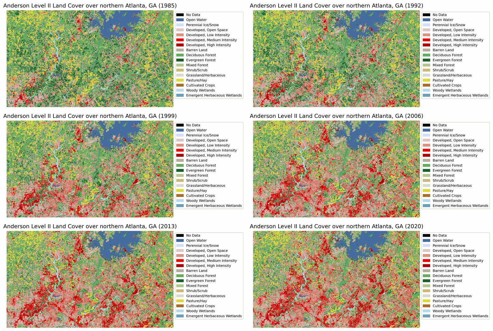
The United States Geological Survey (USGS), in collaboration with the Multi-resolution Landscape Consortium (MRLC), has provided the community with the National Land Cover Database (NLCD), a detailed land cover database for more than 30 years.  To produce the next generation of USGS land cover, with moderate thematic detail at low latency and annual frequency, research is well underway for single stream land cover products. In the initial 2024 product release, users can expect Anderson Level II type land cover classes (for example, the 16 land cover categories used in the current NLCD classification typology) at 30-meter spatial resolution on an annual time step for the years 1985-2023 for the conterminous United States. Research is underway to improve the methodology for producing and validating land cover and change related components included in the next-generation product suite and follow-on products. The results will provide USGS with leading-edge capabilities for land cover monitoring, assessments, and projections. 

Anderson Level II Land Cover over Atlanta, GA

In the coming months, USGS in collaboration with the MRLC, will publish a 2021 CONUS land cover suite (NLCD 2021). Later in 2023, we will release the Conterminous United States (CONUS) Reference Data product updated through 2021, followed by a validation assessment of the Collection 1.3 LCMAP CONUS Science Products. After Collection 1.3, no further production of LCMAP Science Products will occur.

Be sure to sign up for the listserv to stay up to date with USGS’s next generation land cover activities and receive other relevant land cover news.

CEC Releases New Digital Land Cover/Land Use Map of North America, Most Accurate Available at This Scale

Montreal, 20 March 2023 — The Commission for Environmental Cooperation (CEC) is pleased to release the latest trinational digital land cover map of North America, under the North American Land Change Monitoring System (NALCMS), a collaboration with the Governments of Canada, Mexico and the United States and their respective mapping agencies. This land cover map is the most accurate map available at this scale and is publicly available through the North American Environmental Atlas.

NALCMS 2022

We at the CEC are proud of this new digital map, comprising approximately 24 billion pixels, and depicting land cover across North America for the year 2020 at a 30-meter spatial resolution. It is derived from USGS’s Landsat satellite imagery and cross-checked with ground observations for accuracy, making it the most accurate land cover map at the North American scale,” said Dominique Croteau, CEC Project Lead for Geospatial and Environmental Information.

Land cover refers to the classification of surface cover on the ground, whether forest, urban infrastructure, bodies of water or agricultural land, etc., helping to distinguish natural and anthropogenic features. Identifying, delineating, and mapping land cover (or land use) is important for global, regional and local monitoring studies, resource management and planning activities. Land cover classes can include natural features such as tropical forest, shrubland, grassland, and water bodies, but also human-made features such as urban areas and cropland.

This new land cover map, presented by the CEC, harmonizes land cover classification into 19 comparable classes across Canada, Mexico and the United States. The NALCMS land cover classes are based on the Land Cover Classification System (LCCS) standard developed by the Food and Agriculture Organization (FAO) of the United Nations.

“People can appreciate that land cover information is necessary for a large range of applications related to environmental decision-making, natural resource management, adaptation to climate impacts, emergency response, environmental conservation and restoration and many more. Our goal with the North American land cover product is to support policy- and decision-makers, researchers, international and intergovernmental organizations, NGOs, land managers, among many others, from local to global, by allowing them to better understand the dynamics and patterns of North America’s land cover and to conduct both regional and local-level analyses,” concluded Croteau.

RCMAP 1985-2021 Fractional Component Time-Series Now Available

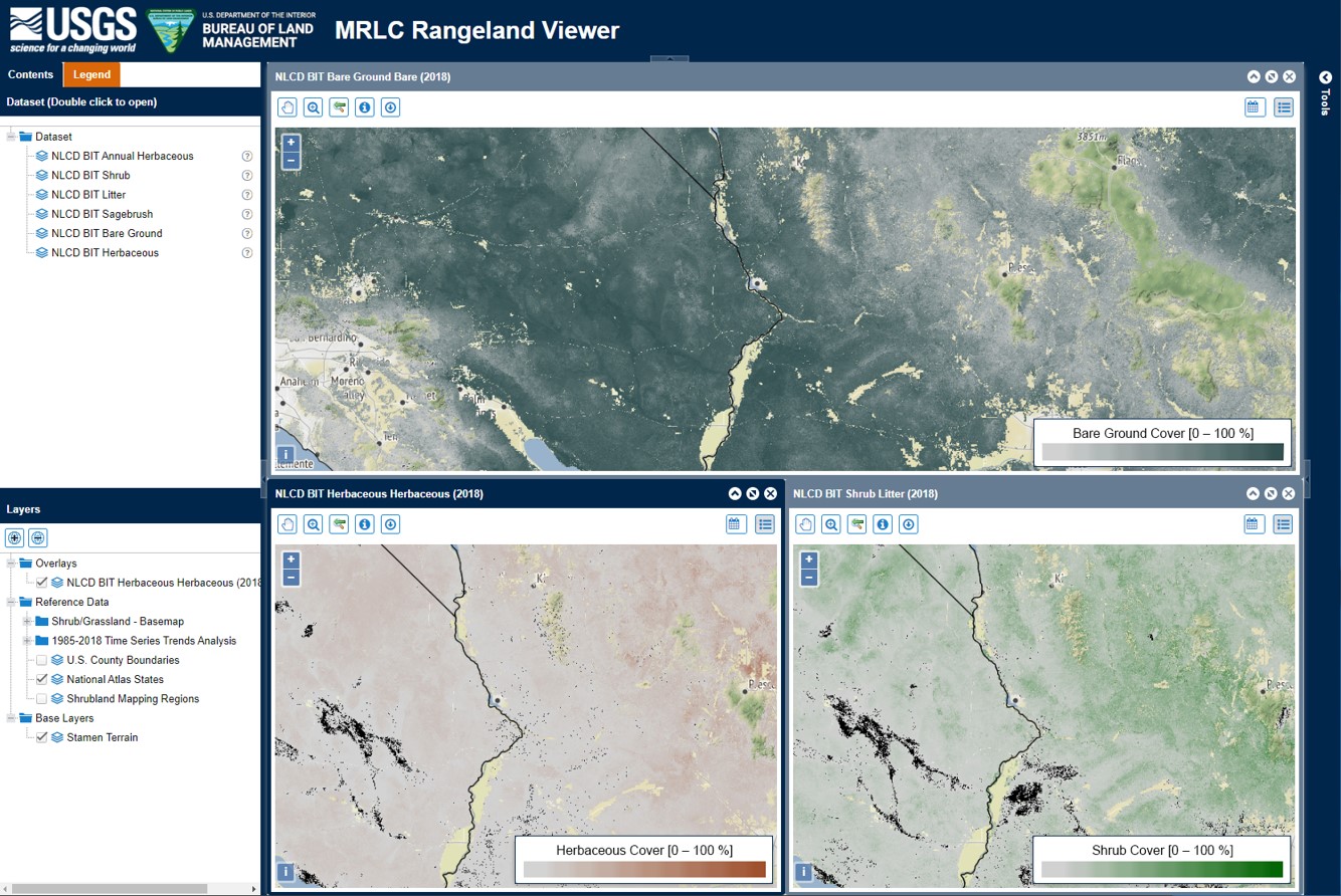
The U.S. Geological Survey (USGS), in collaboration with the MRLC consortium and Bureau of Land Management (BLM), is pleased to announce the availability of a new generation of Rangeland, Condition, Monitoring, Assessment, and Projection (RCMAP) fractional component data spanning a 1985-2021 time-series. The new time-series includes yearly cover predictions for 9 components: shrub, sagebrush, non-sagebrush shrub, herbaceous, annual herbaceous, perennial herbaceous, litter, bare ground, and new to this version, tree cover. Trends statistics of the new time-series will be available by Jan 2023. Data are available for download and on the rangelands viewer. The new generation of data update previously released 1985-2020 RCMAP data and are not designed to be backwards compatible (1985-2020 cover predictions are different between versions). While users are encouraged to use the newest generation of data, the previous versions of the time-series data are archived.

NLCD 2019 Now Available

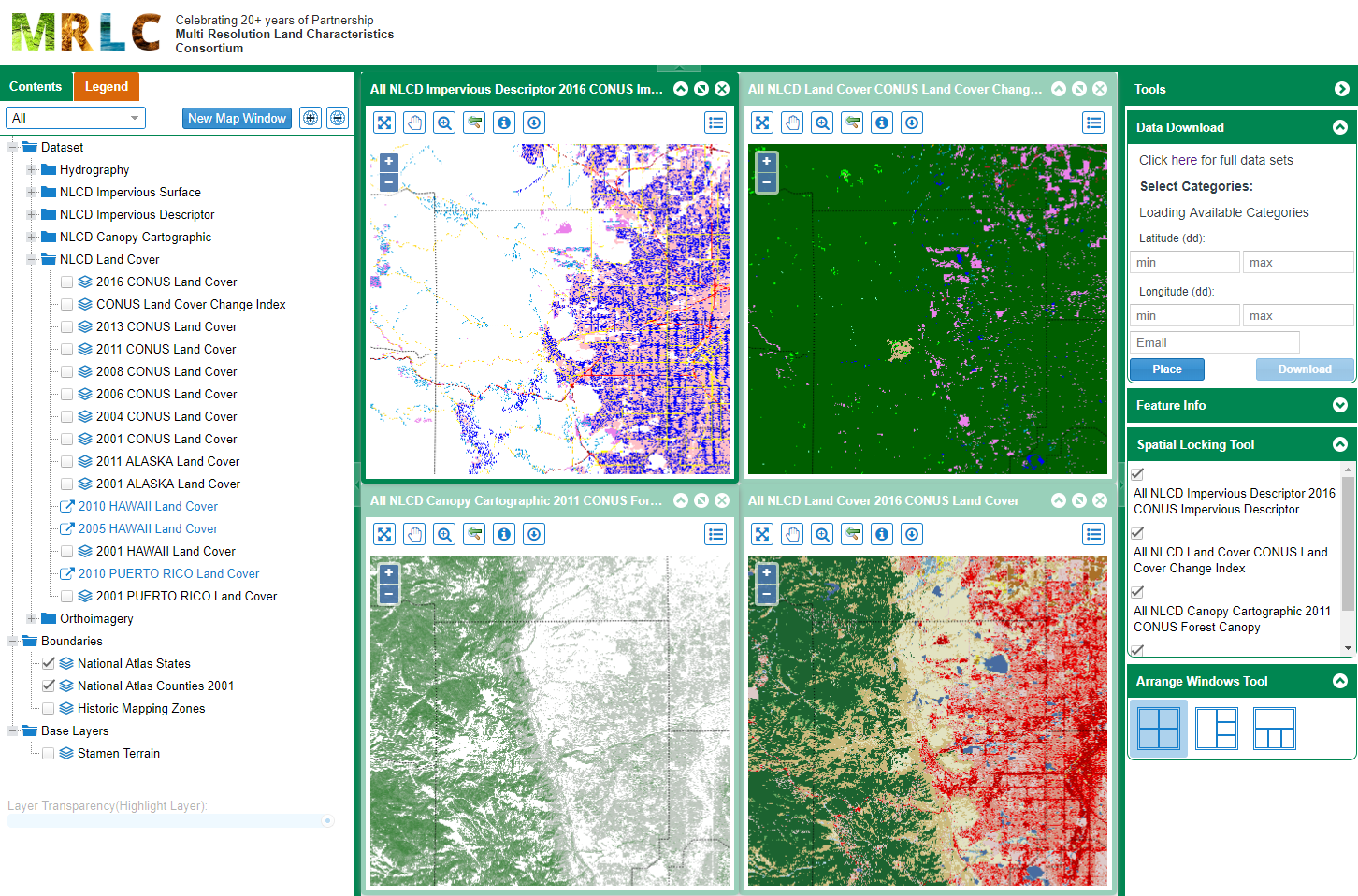
The U.S. Geological Survey (USGS) has released a new generation of National Land Cover Database (NLCD) products named NLCD 2019 for the conterminous U.S. NLCD 2019 contains 34 different land cover products characterizing land cover and land cover change across 8 epochs from 2001-2019. Products include urban imperviousness and urban imperviousness change updated to match all landcover epochs; tree canopy and tree canopy change across 2 epochs from 2011-2016, with a 2019 and 2021 canopy suite set to be released in the next year; and RCMAP rangeland fractional component data including a 1985-2020 time-series, projections of future component cover through the 2080s, and Ecological Potential component cover. Data are available on this website either as prepackaged products or custom product areas can be interactively chosen using the viewer. NLCD 2019 represents the most comprehensive land cover database ever produced by the USGS and was specifically developed to meet the rapidly growing demand for land cover change data. NLCD is coordinated through the 10-member Multi Resolution Land Characteristics Consortium (MRLC), a two decades-long interagency federal government collaboration that has proved an exemplary model of cooperation among federal agencies to combine resources to provide digital land cover information for the Nation.

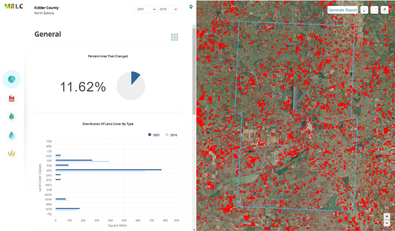
NLCD 2019 now offers land cover for years 2001, 2004, 2006, 2008, 2011, 2013, 2016, 2019, and impervious surface and impervious descriptor products now updated to match each date of land cover. These products update all previously released versions of landcover and impervious products for CONUS (NLCD 2001, NLCD 2006, NLCD 2011, NLCD 2016) and are not directly comparable to previous products. NLCD 2019 land cover and impervious surface product versions of previous dates must be downloaded for proper comparison. Also included with thelLand cover is the NLCD Land Cover Change Index. This index provides a simple and comprehensive way to visualize change from all 8 dates of land cover in a single layer. The change index was designed to assist NLCD users to understand complex land cover change with a single product. NLCD 2019 also offers an impervious surface descriptor product that identifies the type of each impervious surface pixel. This product identifies types of roads, wind tower sites, building locations, and energy production sites to allow deeper analysis of developed features.