News Content
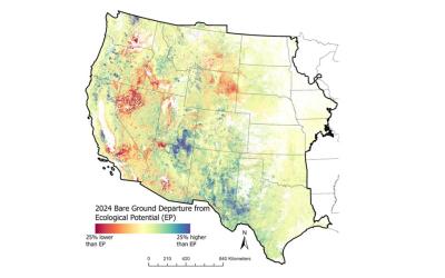
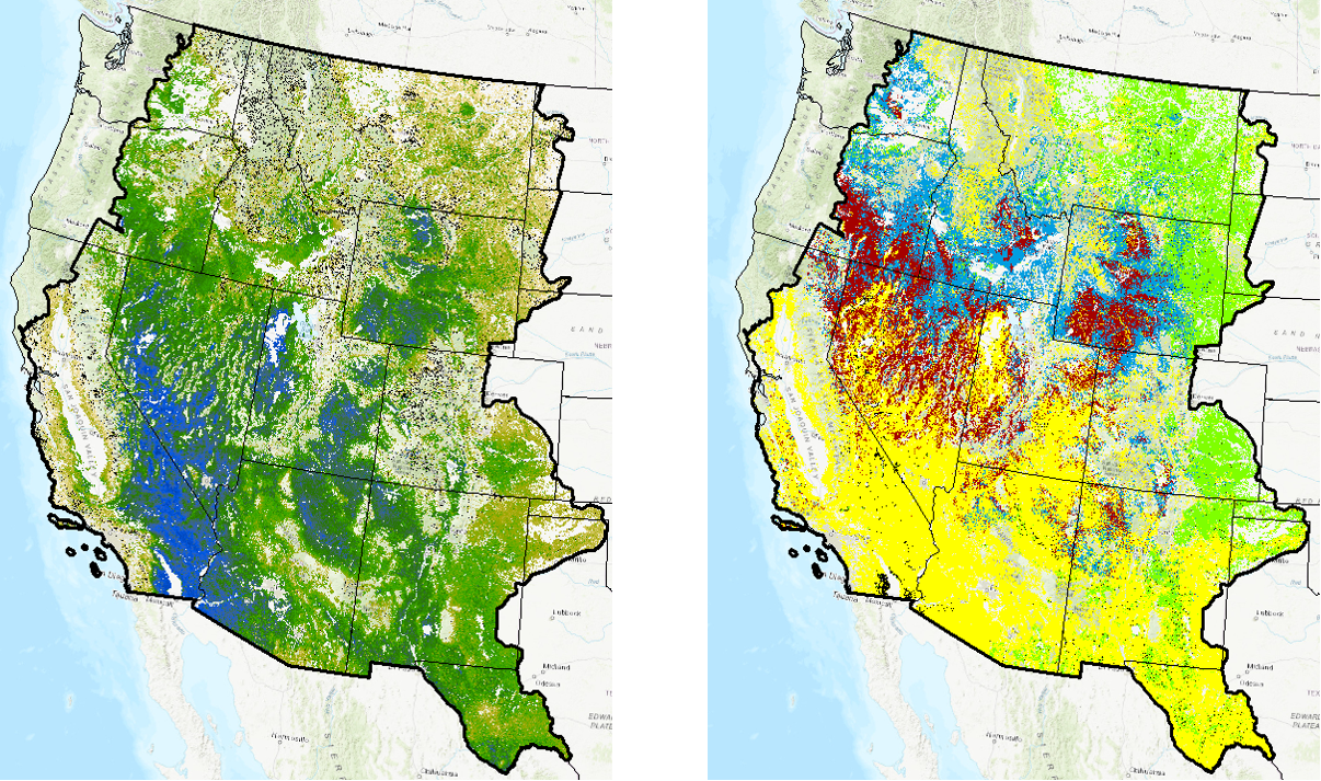
The USGS, in collaboration with the Bureau of Land Management, has produced Ecological Potential rangeland fractional cover data for the Western U.S. These products represent the potential cover given the most productive, least disturbed, portion of the 1985-2020 Landsat archive. Contemporary component cover in 2018 was compared to Ecological Potential cover to generate departure maps. Additionally, we converted Ecological Potential and 2018 cover maps into vegetation states. These general vegetation states (native sagebrush steppe, annual grasslands, etc.) highlight locations where vegetation communities have already changed or are vulnerable to future change.
News Image
News Link