Rangeland Ecological Potential - Component Cover, Cover Departure, and Vegetation States
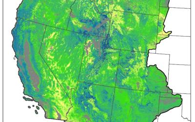
Ecological Potential rangeland fractional cover data products represent the potential cover given the most productive, least disturbed, portion of the 1985-2020 Landsat archive. Models used to predict Ecological Potential cover were trained on ecologically intact sites where annual herbaceous cover is low, no known disturbance or land treatment has occurred over the study period, and bare ground cover is relatively lower than expectations. Ecological Potential data can serve as a baseline for comparison of current rangeland vegetation conditions and trends. Contemporary component cover in 2018 was compared to Ecological Potential cover to generate departure maps. Additionally, we converted Ecological Potential and 2018 cover maps into vegetation states. These general vegetation states (native sagebrush steppe, annual grasslands, etc.) highlight locations where vegetation communities have already changed or are vulnerable to future change.
Preferred Citation:
Rigge, M., C. Homer, H. Shi, and B. Wylie. 2020. Contemporary departures of rangeland fractional component cover from Landsat-based ecological potential in Wyoming USA. Rangeland Ecology and Management. 73: 856-870.
Related Publications:
Rigge, M., C. Homer, B. Wylie, Y. Gu, H. Shi, G. Xian, D. Meyer, B. Bunde. 2019. Using remote sensing to quantify ecosystem site potential and deviation in the Great Basin, United States. Ecological Indicators. 96: 516-531.
Rigge, M., D. Meyer, and B. Bunde. Submitted. Ecological Potential Fractional Component Cover Based on Long-Term Satellite Observations Across the Western United States. Ecological Indicators.
Data Release Citation:
Rigge, M., Meyer, D. K., and Bunde, B., 2021, Ecological Potential Fractional Component Cover Based on Long-Term Satellite Observations Across the Western United States:, U.S. Geological Survey Data Release, https://doi.org/10.5066/P9D2597G.


