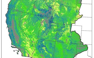
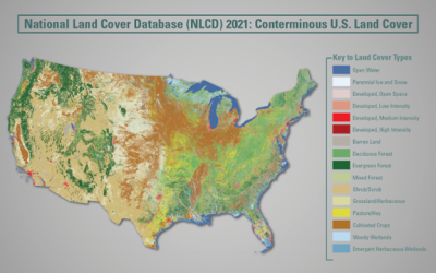
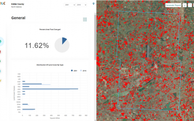
RCMAP base component products characterize the percentage of each 30-meter pixel in the Western United States covered by shrub, herbaceous, bare ground, litter, sagebrush, big sagebrush and annual herbaceous, along with estimating shrub height and sagebrush height. These products have been produced by USGS in collaboration with the Bureau of Land Management. Component products are designed to be used individually or combined to support a broad variety of applications.
Please note these new Revised (071520) rangeland products will differ from the first generation of circa 2016 fractional cover maps, a more aggressive masking of tree canopy cover was applied to each rangeland component. Specifically, we have lowered the tree canopy cover threshold for exclusion from 40 to 25%. For pixels with 1-25% tree canopy cover we ensured that our primary components (shrub, herbaceous, litter, and bare ground) cover summed to 100% when added with the tree canopy. And, for the secondary components (sagebrush, big sagebrush, sagebrush height and shrub height) we reconciled to the primary component (shrub), excluding any pinyon-juniper woodlands.
Related Publications: Homer, C, Xian, G., Aldridge, C., Meyer, D., Loveland, T., and O'Donnell, M. 2015. Forecasting sagebrush ecosystem components and greater sage-grouse habitat for 2050: Learning from past climate patterns and Landsat imagery to predict the future. Ecological Indicators, Volume 55, August 2015, p. 131-145.
Xian, G., Homer, C.G., Meyer, D.K., and Granneman, B.J., 2013. An approach for characterizing the distribution of shrubland ecosystem components as continuous fields as part of NLCD, ISPRS Journal of Photogrammetry and Remote Sensing, v. 86, p. 136-149. (Also available online at http://dx.doi.org/10.1016/j.isprsjprs.2013.09.009).
Homer, C.G., Aldridge, C.A., Meyer, D.K. and S. Schell, 2012. Multi-Scale Remote Sensing Sagebrush Characterization with Regression Trees over Wyoming, USA; Laying a Foundation for Monitoring, International Journal of Applied Earth Observation and Geoinformation. Vol. I4, 233-244.
To view and print the PDF you must obtain and install the Acrobat® Reader, available at no charge from Adobe Systems.


