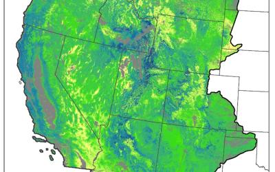
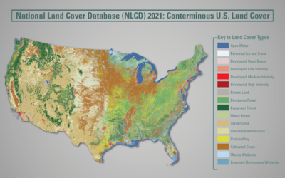
NLCD 2001 Percent Developed Imperviousness (CONUS)

Impervious surface products give a percent of developed impervious surface for each categorized Landsat pixel. This percentage provides the base for the four types of developed land cover pixels. This percentage gives extra precision for development around the nation and allows more detailed analysis of how developed features interact with natural classes around the nation. These percentages are developed through high-resolution training and applied to Landsat pixels. These pixels are generated through machine learning algorithms and incorporate features like roads, wind turbines, buildings database, and other ancillary data sets. More information is contained in the metadata, and additional class delineation for these features is found in the companion impervious descriptor product.


