Data
Use the interface below to filter and download available NLCD products. Click (here) for NLCD Science Research Products which offer more comprehensive delineation of shrub and grass classes and information about change disturbance. For access to dynamic MRLC viewer applications and tools, click (here).
Dataset Type
Region
Time Period
RCMAP - Time-Series - Cover
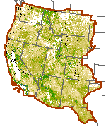
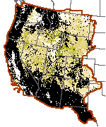
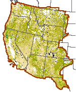
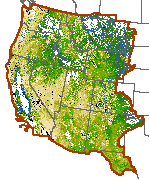
V5 RCMAP Factsheet.pdf2.14 MB Maximizing Accuracy of Rangeland Data- RCMAP article April 2024The RCMAP product suite includes 10 components: annual herbaceous, bare ground, herbaceous, litter, non-sagebrush shrub, perennial herbaceous, sagebrush, shrub, tree, and shrub height. Data characterize the percentage of each 30-meter pixel in the Western United States covered by each component for each year from 1985-2023 - providing change information for 39 years. Because of file size limitations, individual years of component cover data are packaged in three time intervals including 1985-1996, 1997-2008, and 2009-2023. Perennial herb and non-sagebrush shrub are derivatives of herbaceous and annual herbaceous cover, and shrub and sagebrush cover, respectively. (Read More)