
Image

Published
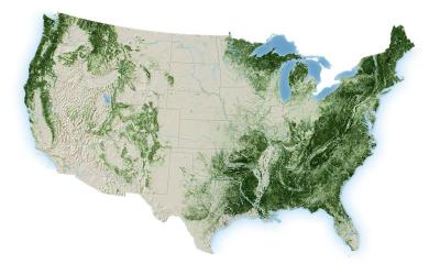
The USDA Forest Service Geospatial Office (GO) and Research and Development - Forest Inventory and Analysis (FIA) builds and maintains the National Tree Canopy Cover (TCC) dataset as part of the National Land Cover Database (NLCD). Annual data for the contiguous United States is now available from 1985-2025. The TCC datasets are derived from Landsat and Sentinel-2 imagery along with USDA Forest Service FIA data, based on a spatial resolution of 30 meters. Each Tree Canopy Cover (TCC) value is determined using photo interpretation methods and machine learning models, to produce the percentage of the area covered by tree canopy and interannual change between all years.
Published
The U.S. Geological Survey Rangeland Condition Monitoring Assessment and Projection (RCMAP) Exotic Annual Grass (EAG) team is pleased to announce the release of a new generation of weekly resolution maps. We release weekly data for weeks 10-38 (early March to late September) of 2016-2026 for total herbaceous, total EAG, cheatgrass, medusahead, field brome, and Sandberg’s Bluegrass.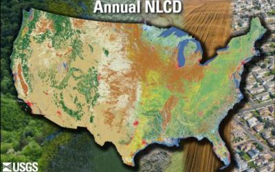
Published
Land Cover Characteristics in a Suite of Six Products