
News Content
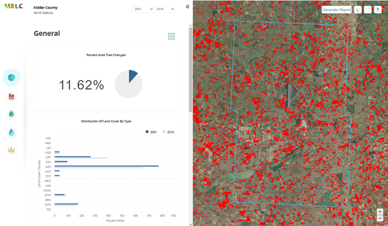
The MRLC Consortium, in collaboration with NOAA and the USGS, is pleased to release version 2 of the Enhanced Visualization and Analysis (EVA) tool. This tool provides users with detailed county statistics for any two NLCD landcover dates to support quick and powerful change analyses. This tool was originally developed by NOAA and shared through the consortium with custom adaptations for NLCD.
News Image
News Link


